Mountain Hiking
- Home
- Mountain Hiking
Kilimanjaro Marangu Trail
Ascent of Kilimanjaro : The Marangu Route
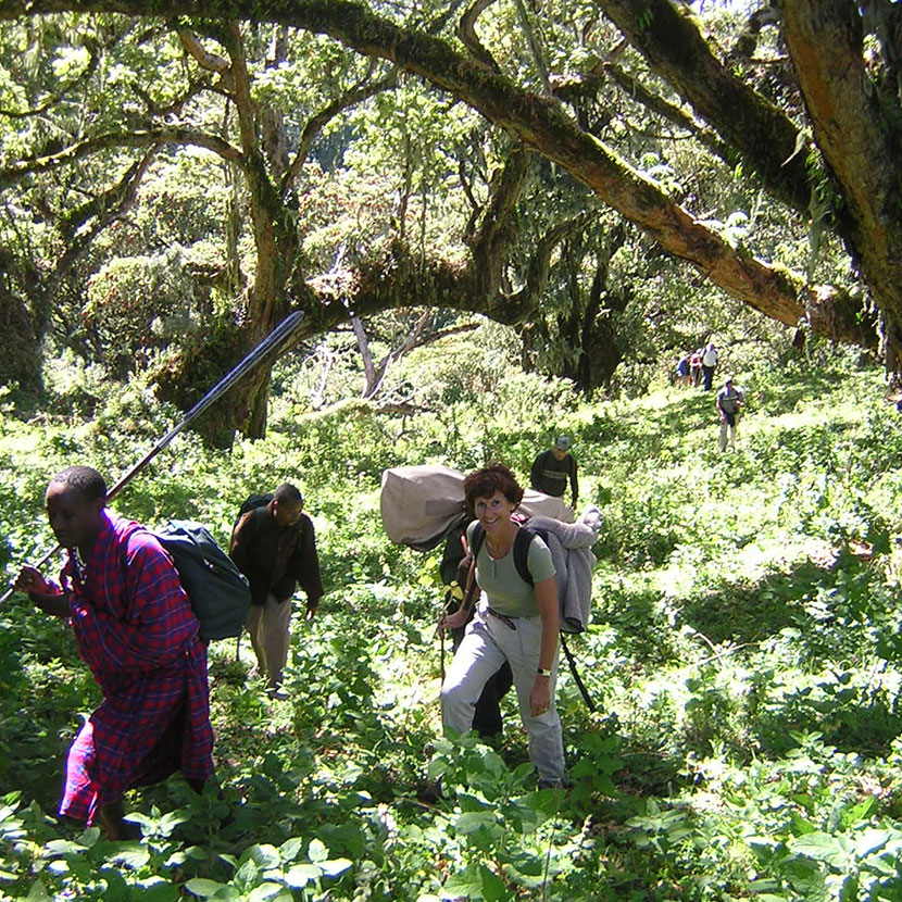
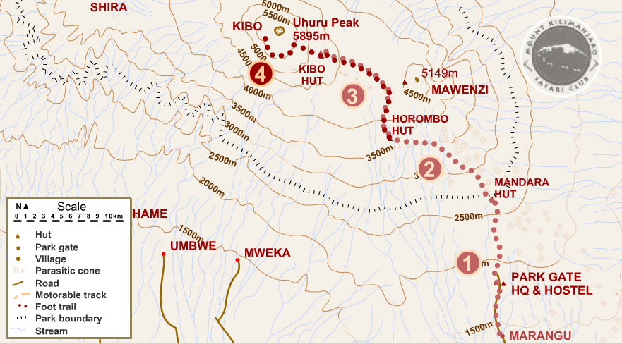
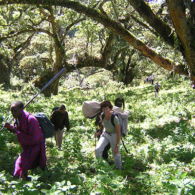
The Marangu Route is one of the more convenient routes of Kilimanjaro. The climb is comparatively gradual and leads you through the different vegetation zones of the mountain to the summit at 5895 m. The coffee and banana plantations in the foothills (800 to 1800 m) are followed by the very dense rainforest area (1 800 - 2 800 m) with high trees, inextricable lianas, rubber and the native animals.
Columbus' monkeys cavort here, various species of birds and with a little luck, antelopes can also be found.
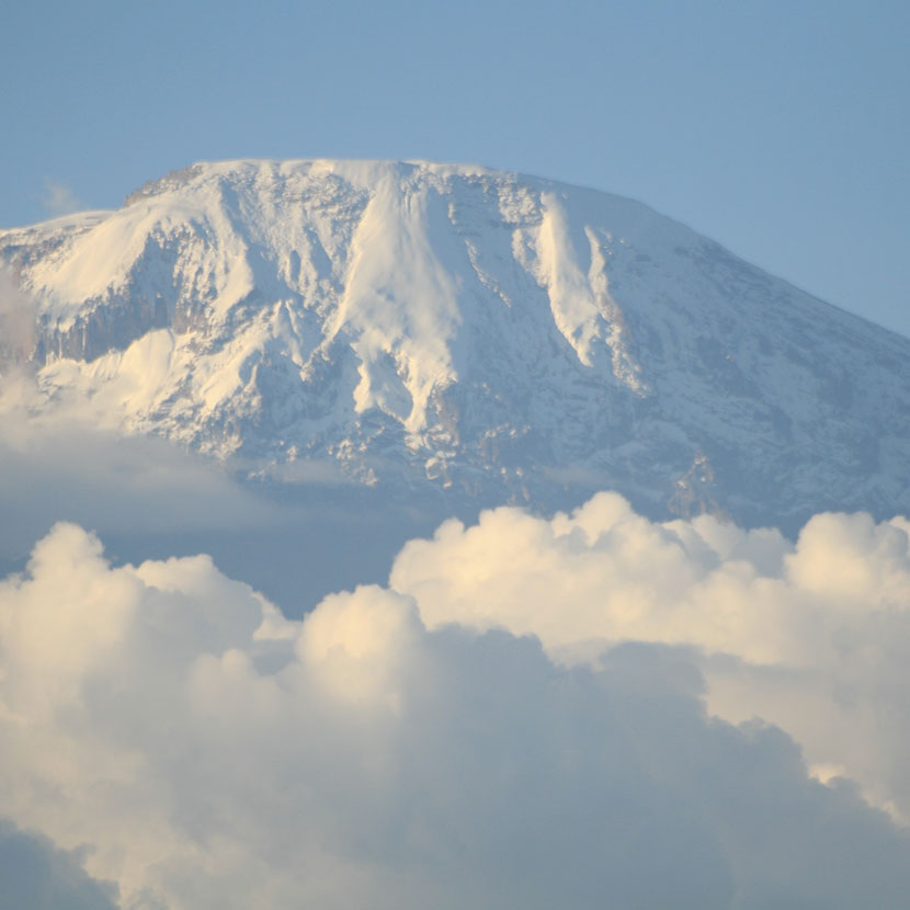
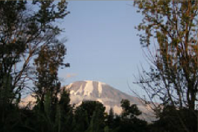
After the extensive heath of Mandara you will cross wide grasslands at 2.800-4.000 m altitude. Here you will discover giant groundsels and lobelia with the spectacular scenery of the picturesque and snow-covered glacier of Kibo in the background.
Thereafter the landscape becomes drier, the soft muddy forest tracks give way to stony paths. The mountain region becomes a desert with enormous temperature differences between day and night. The lack of oxygen becomes noticeable now. This part of the route is one of the most spectacular ones due to its proximity to Kibo and Mawenzi and its fascinating landscapes.
Day 1
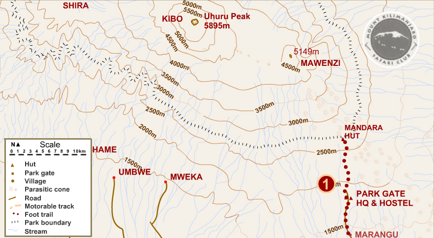
MARANGU GATE / MANDARA
You start todays hike from Marangu Gate at an altitude of about 1,800 meters. The tour leads on well trodden paths through dense rainforest and after about four hours you reach the Mandara Hut at an altitude of 2.750 meters.
If you are still in good shape when you arrive at the hut, take a short walk to Maundi Crater, from where you have a beautiful view over the plains, Lake Jipe and in the distance the Pare and Usambara Mountains. Accommodation in the mountain huts.
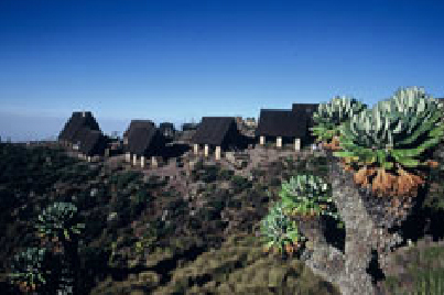
Day 2
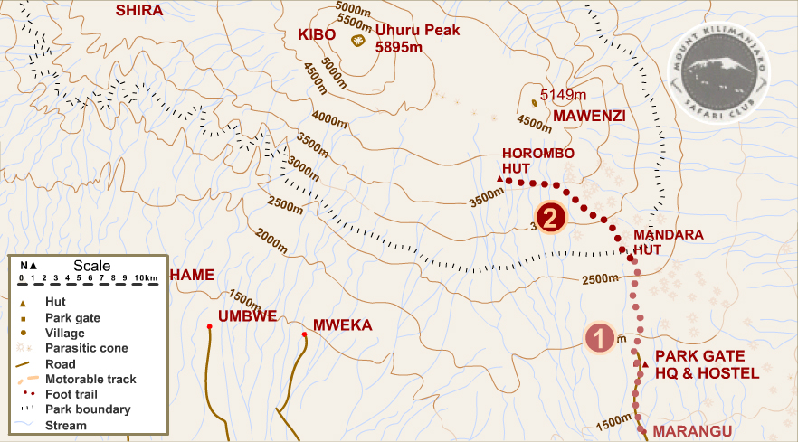
MANDARA / HOROMBO
After a 45 minute walk through the rainforest you reach the open heath and moor landscape. The well-marked path leads through unusual vegetation with Senecien (crested tree) and giant groundsels. After a 4 hours hike you reach Horombo, the second hut at 3,720 m. A magnificent view of the Mawenzi awaits you. Dinner and overnight stay in the hut.
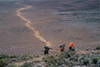
Day 3
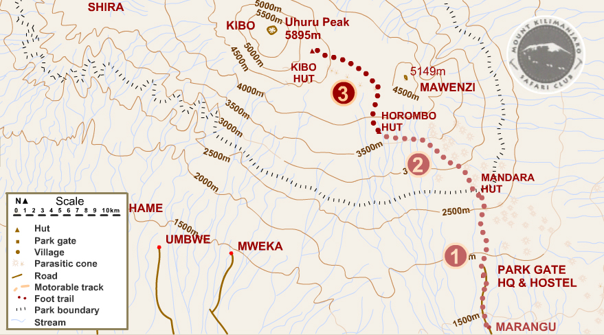
HOROMBO / KIBO
Today is dedicated to adjustment of altitude. From Horombo Camp, the hike leads to the Zebra Rocks, which are located at about 4,000 meters above sea level. The hike leads through moorland and heathland, which, however, is becoming increasingly barren and alpine in the higher regions and offers impressive views of the landscape time and again. It is necessary to force yourself to walk at a slow pace. After crossing the saddle (a long, flat section between Mawenzi and Kibo mountain at 4,300 meters), the last part of the hike requires some effort before reaching the Kibo hut, the last mountain hut at 4,700 meters.
Day 4
KIBO / SOMMET / HOROMBO
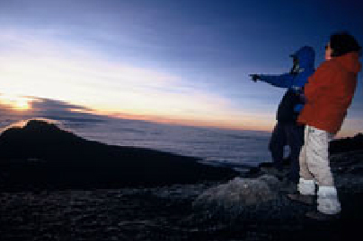
It's time! Around midnight the hike up to the highest point of Africa, the Uhuru Peak, begins. The first passage to the Hans Meyer Cave is a rocky path. The following part leads in cold weather over gravel and stone further up the mountain. After about 5 hours Gilman's Point is reached at an altitude of about 5,685 meters. Depending on your speed, you can experience the wonderful sunrise here or later at Uhuru Peak, which will be reached in a good hour's walk along the snowy crater rim.
Then it is done - Africa's highest peak!
After a few minutes of rest, a fantastic view and great photos at the glacier the path leads to Gillman's Point. After an extensive breakfast the hike continues towards Horumbo. In about 2 to 3 hours you will reach the mountain huts and spend your last night on the mountain.
Day 5
HOROMBO / POINT DE DEPART
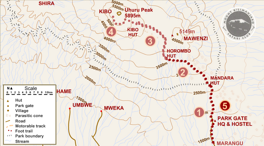
Relaxed descent to the starting point of the trek, passing the Mandara Hut. Your will arrive at the Marangu Gate 4 or 5 hours later.
Kilimanjaro Machame Trail
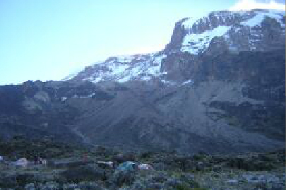
Ascent of Kilimanjaro
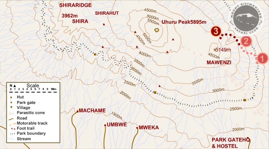
The Kilimanjaro massif, the mythical peak of the African continent, dominates the surrounding plains at 5000 metres. This huge volcano with its very characteristic shape consists of three different craters, the Shira in the west, the Mawenzi in the east and the Kibo in the middle. The summit of Uhuru Peak, the final destination of the climb, rises to 5895 meters. This isolated volcano measures 60 km from east to west and 40 km from north to south.
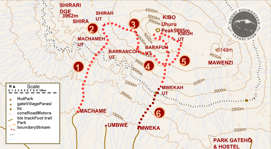
The Machame Route is considered the most beautiful route of all. Due to its altitude profile, it offers good opportunities for altitude adjustment, so that the chances of a successful ascent are above average.
Although the route is a little more strenuous and sometimes steeper, this route is often chosen by trekkers who want to acclimatise better and avoid the crowds on the other routes.
Since ascent and descent are on different paths, this route offers more varied views of the landscape and the neighbouring mountains and allows you to experience nature more intense away from the crowds.
At the campsites along this route you will sleep in tents. All sites are in direct contact with the management of the National Park by radio.
Step 1
Duration: 5-6 h | Distance: approx. 9 km | Height difference: approx. 1,270 m ↑ | Effort: Moderate
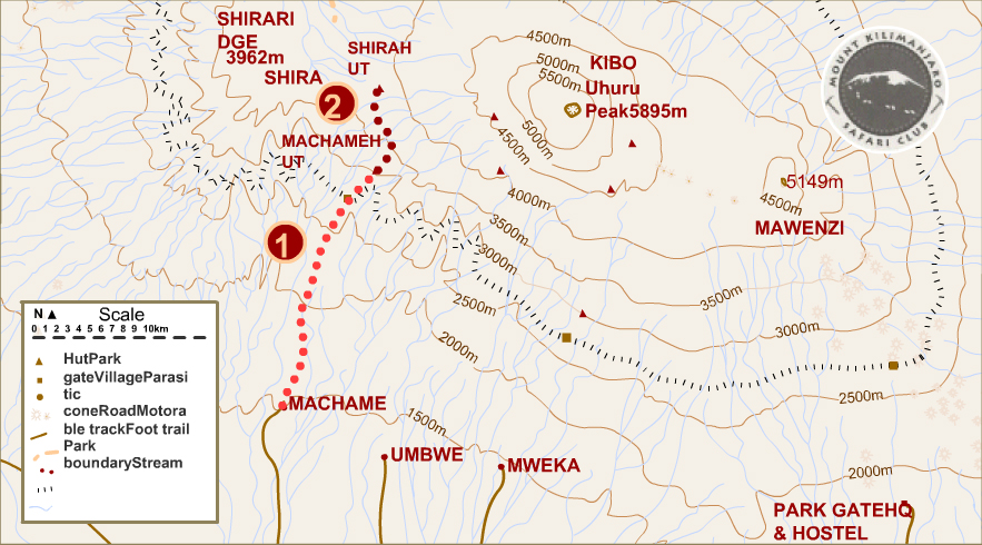
MACHAME / MACHAME HUT
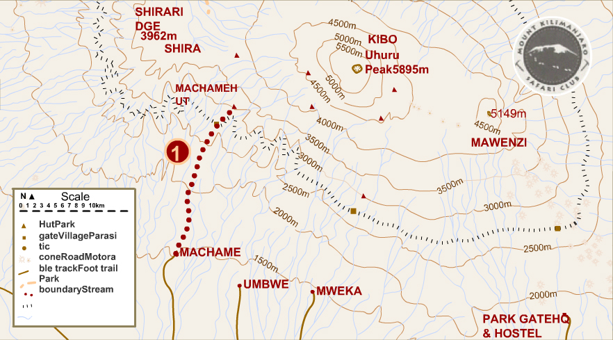
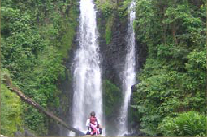
The starting point of this hike is the Chagga village of Machame at 1,780 metres altitude. The stage leads from the ""gate"" for about 6 hours through dense rainforest with inextricable lianas, rubber, giant ferns and begonias in which diadem monkeys, colobus monkeys, various antelopes and a colourful world of birds cavort. As we gradually gain height, the vegetation changes. The rainforest turns into grassland and vast heathlands. The camp is set up near the metal huts of Machame Hut at 3,050 meters above sea level and offers a wonderful view of Uhuru Peak.
Step 2
Duration: 5-6 h | Distance: approx. 7 km | Height difference: approx. 640 m ↑ | Effort: Elevated
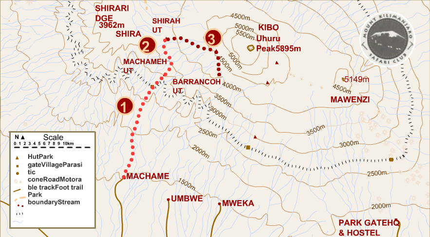
MACHAME HUT / SHIRA
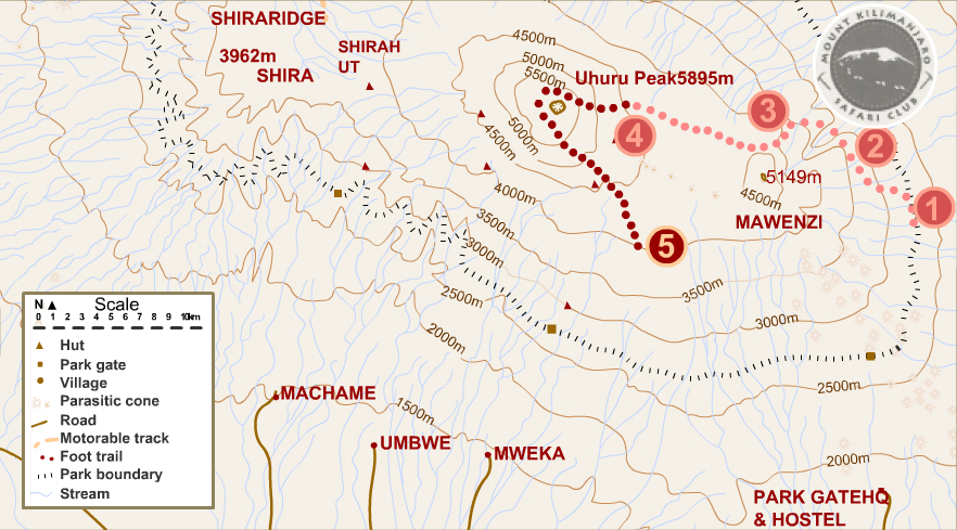
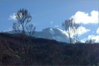
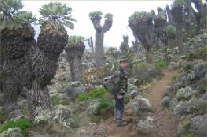
Today's path leads through a wide grass savannah, volcanic rock and heathland.Here you meet the first giant ""Groundsel"", who watch over the steppe like watchmen. The somewhat steeper path continues to meander through a ghostly landscape of volcanic lava with caves and streams up to the Shira Plateau and after three quarters of an hour the Shira camp at 3690 meters is reached.
Step 3
Duration: 6-7 h | Distance: approx. 10 km | Height difference: approx. 850 m ↑ and 700 m ↓ | Effort: Increased
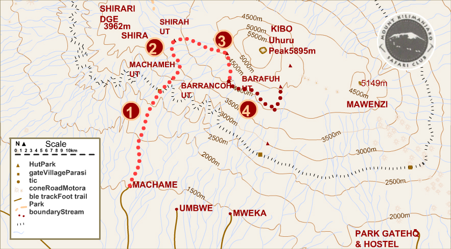
SHIRA / BARRANCO
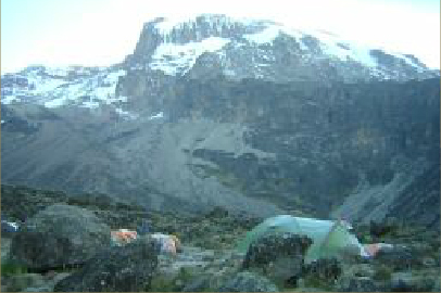
This day also serves as acclimatization day. The route leads steadily slightly uphill through the stone desert towards Kibo. At 4570 m the Lava Tower is reached. After a snack, the descent to the Barranco camp leads past a huge gorge, the ""Great Barranco"". The path is lined with centuries-old crested „Groundsel“ and lobelias, which are irrigated by countless small, converging waterfalls. Today the camp is built at an altitude of 3940 meters.
Step 4
Duration: 6-7 h | Distance: approx. 8 km | Height difference: approx. 610 m ↑ | Effort: increased
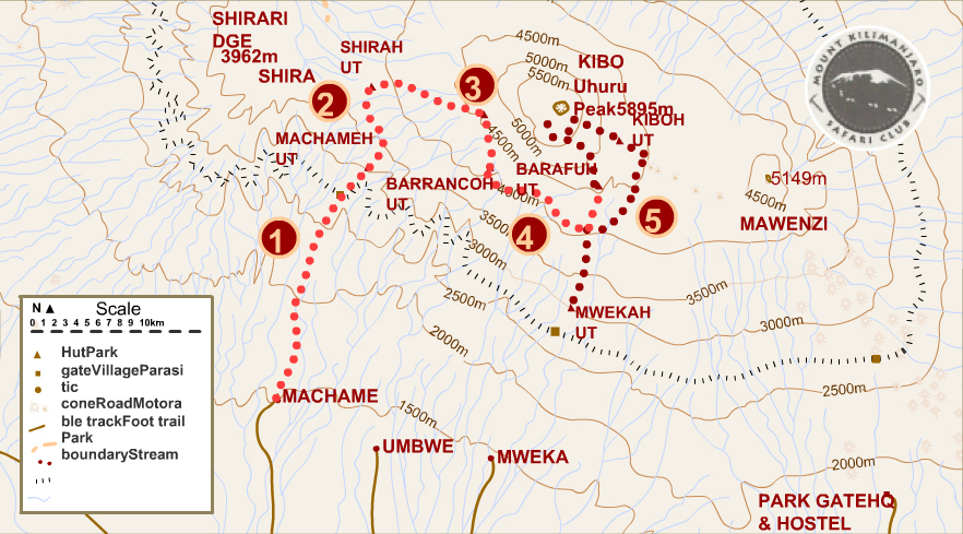
BARRANCO / BARAFU
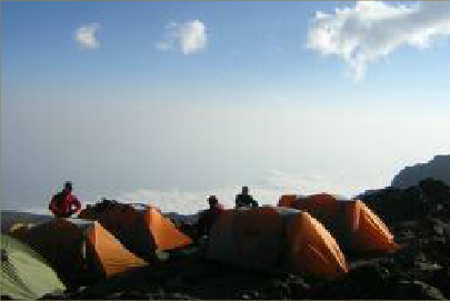
Todays walk is marked by a constant up and down. Just half an hour after our departure, the great challenge of the day - the Great Barranco Wall - awaits you. Once the wall has been conquered, the route continues through several small gorges up a seemingly endless ridge on the flanks of Kilimanjaro. After a lunch break in the Karanga Valley, the hike leads over a moraine to the Barfu camp at 4650m. On the one hand side we look to majestic Mawenzi and above us .... the destination .... the Kibo!
Step 5
Duration: 11-13 h | Distance: approx. 19 km | Height difference: approx. 1,230 m ↑ and 2,800 m ↓ | Effort: High
BARAFU / UHURU PEAK / MWEKA
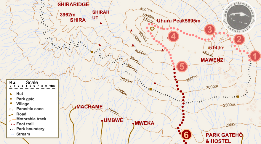
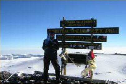
Today is the day - around midnight we start our hike to the Uhuru summit. At very cold temperatures between -10 and -15°C you will climb the slopes up to the foot of the Ratzel and Rebman glaciers. It is a steep ascent, the atmosphere in the darkness under a starry sky seems almost surreal. After about 6 hours you reach the crater rim, between Stella and Hans Meyer summits. Depending on your walking speed you will experience an unforgettable sunrise here or later at Uhuru Peak. From Stella Point the hike to Uhuru Peak (5895 m) on the mostly snow-covered volcanic crest takes up to one hour.
Then it is done! Photo session and enjoy the view!
The return to Gillman's Point takes one hour. After breakfast the hike continues to Kibo Camp, which is reached in about 1,5 hours. After a longer break the descent leads to Mweka Camp, which is reached in the afternoon.
Step 6
Duration: 6-7 h | Distance: approx. 28 km | Altitude gain: approx. 1,460 m ↓ | Exertion: Low
MWEKA GATE
The last leg of the hike leads relaxed through the beautiful tropical vegetation with several breaks and a comfortable picnic stop back to Mweka Gate. Here, each participant will be given a summit certificate and before leaving for the lodge, the traditional farewell to Kilimanjaro and the team will take place.
Kilimanjaro Rongai Route
Ascent of Kilimanjaro
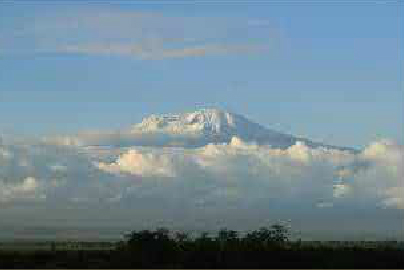
Kilimanjaro Climb, Rongai Track The Rongai track approaches the Kilimanjaro climb from the north side of the mountain, along the Kenya/Tanzania border. This route is one of the most preserved and wild by offering new perspectives on the Kilimanjaro. This route joins, before the assault, the Marangu track and makes it possible to attack the summit (Gillman's point), a well-trodden path. The return is done by the same way as the Marangu track.
Step 1
Rongai Gate (1950m) - 1st Caves camp (2600m)
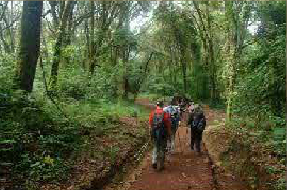
Registration and formalities at Marangu park gate followed by a transfer (by car) (approximately 2 ½ hours) until the departure point from the Rongai track. Getting to know the guide and his team. Beginning of the hike in the Nale Moru village. The track climbs very gradually through cornfields before entering a pine forest ... The climb is definitely not steep but done by a little sloping path through a beautiful landscape. First night in the "First caves" camp at 2 600 meters. Toilet, tables and wooden benches but no refuge. The night is spent in tents.
Step 2
1st Cave (2600m) - Kikelewa Cave (3600m)
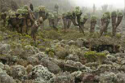
The trek continues with the Kibo in focus. Once past the "Second Cave" (3 450m), the landscape opens and a" high mountain "atmosphere is discovered. In the afternoon, we reach the "Kikelwa Cave" at 3600 meters. A mountain stream flows just below the location. Second night in "Kikelwa caves" camp at 3 600 meters. The night is spent in tents.
Step 3
Kikelewa Cave (3600 m) - Mawenzi Tarn camp (4330m)
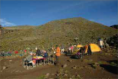
A short but steep step. Very nice view on very wild landscapes. All vegetation disappears upon reaching the third step, "Mawenzi Tarn." Spectacular location at the foot of the Mawenzi's rock towers. The afternoon goes on by acclimatizing and dicovering the lunar landscapes. Overnight in "Mawenzi Tarn" camp at 4 330 meters. The night is spent in tents.
Step 4
Mawenzi Tarn camp (4330m) - Kibo hut (4700m)
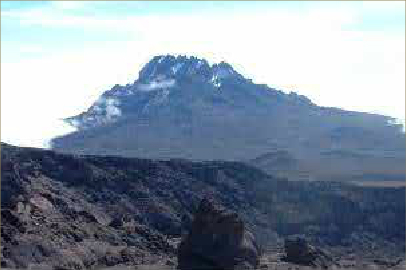
We continue climbing to the east side of the Kibo. The vegetation has disappeared leaving room to a desert. It is necessary to force yourself to walk slowly and enjoy the wonderful atmosphere of high altitude deserts and the landscape. Arrival at Kibo Hut, the refuge at 4 700 meters. The night is spent in the refuge.
Step 5
Kibo hut (4700m) - Uhuru Peak (5895m) - Horombo hut (3720m)
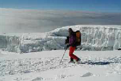
Very early departure during the night. The slope is steep and steady, the actual ascent begins. Stop on the way, at Hans Meyer Cave. The cold becomes very intense. After 5/6 hours of walk, at first light of dawn, you will arrive at Gillman's Point (5685 meters). The first summit, that is to say the edge of the crater. The true summit Uhuru Peak (Peak of freedom) at 5 895 meters, achieved in 1 ½ of walk on the snowy ridge of the volcano: Africa's summit and crowning achievement of all your sufferings: you can then count 1 ½ hour to reach Gillman's Point and again 2 hours to reach Kibo Hut before arriving at Horombo Hut.
Step 6
Horombo hut (3720m) - Marangu Gate (1980m)
Easy descent towards the starting point of the trek, passing through Mandara Hut. Picnic along the way. Arrival at Marangu Gate 5 hours later.
Mount Meru
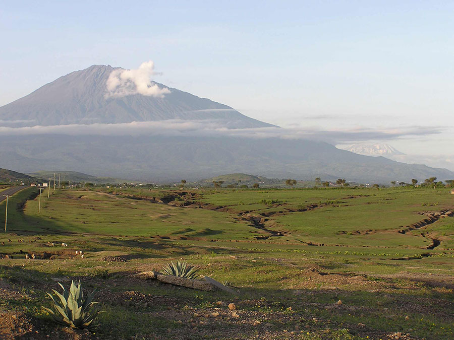
Ascension of 3 days / 2 nights, which requires, as the Kili, a good physical condition and training to mountain hiking. Rapid Evolution of the vegetation and wildlife. The first day is also very rich in encounters (elephant, buffalo, ...) and requires the presence of a TANAPA armed guard. Stunning views starting from 3500 m. The emotion is ensured in the last refuge, when the sun sets over the western glaciers of Kilimanjaro, so close.
Step 1
Ascent of Mount Meru (first day)
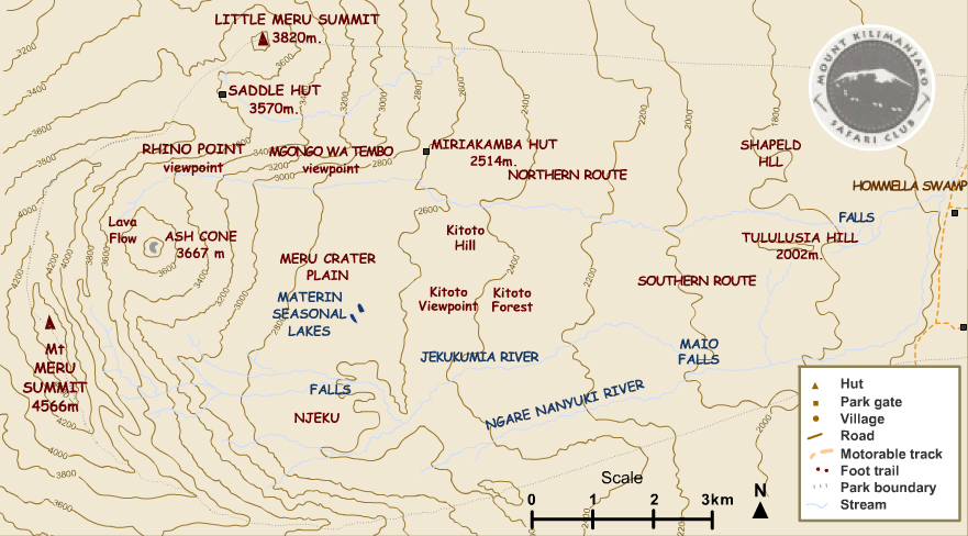
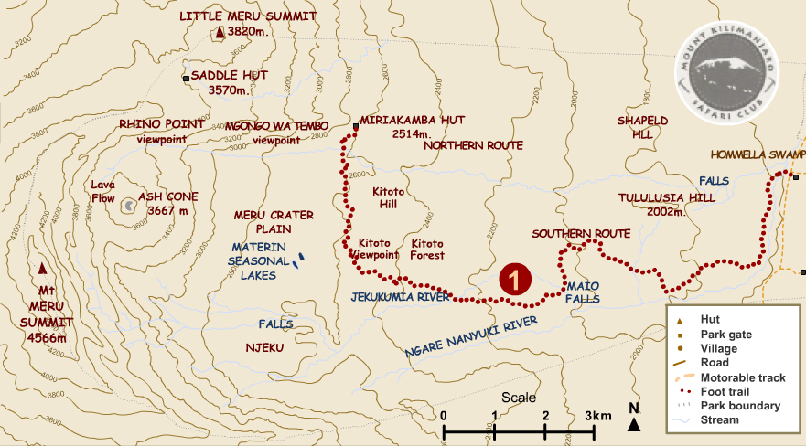
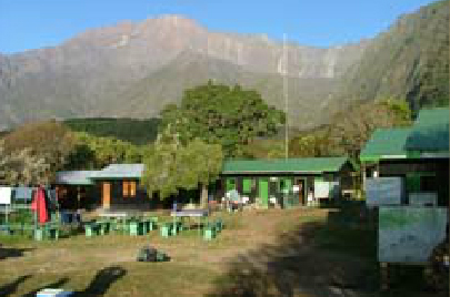
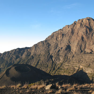
Crossing the Ngare Nanyuki River and about 1 ½ hour of walk on a beautiful forest track passing under the fig tree Arch and fording small streams. Picnic towards the Maio Falls. Still 1 ½ hour of walk to get to Kitoto Camp, superb views across the west of the Kilimanjaro and the Arusha National Park. One last hour to reach Miriakamba Hut through the Meru crater, wide plateau opened on the east and covered with copses and clearings inhabited by many animals.
Step 2
MIRIAKAMBA HUT/SADDLE HUT (second day)
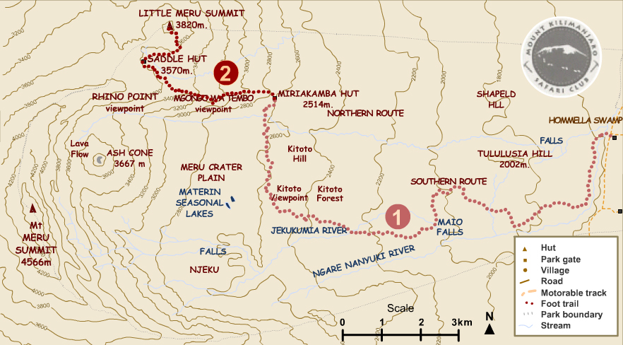
Departure in the morning for about 4 hours of walk and 1000 m of uneven path. The temperature at this altitude is very pleasant, the vegetation is lush, almost tropical and gradually gives way to heathers. In the late afternoon, you can climb the "Little Meru" (3820 m) in 1 ½ hour roundtrip where you can admire the pink and orange blazes of Kilimanjaro's snow at dusk. Dinner and overnight at the Saddle Hut refuge located at 3570 meters, on the col joining Mount Meru and Little Meru.
Step 3
SADDLE HUT/ MOUNT MERU / ARUSHA
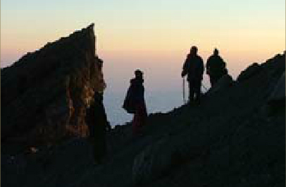
After a very early start (around 1:30 AM), departure to join Rhino Point , which you reach after an hour of walk. For this climb we recommend that you bring warm clothing as the wind can be very brisk and cold. From Rhino Point, the Kilimanjaro looms as a silhouette on the horizon. You will then engage on a narrow and aerial crest forming the crater rim and dominating the lava cone where the plunging view is spectacular. After 4 good hours of walk on lava composed of rocks, slags and volcanic dust, you will finally reach the summit. At 4566 m, all major volcanoes north of the country, located in the Great African Rift, of which Oldonyo Lengai is still active, and the Kitumbeini and Arusha town are visible if the sky is not covered too much. You will complete the descent towards Saddle Hut by the same track in about 3 hours. In order to reach Miriakamba Hut you will take a different track that follows the rivers bed formed by the erosion of rainwater. Then, back to Momella Gate through tall grass and bushes. You will be given after this journey, a document certifying that you have conquered the Mount Meru summit.
Ol Donyo Lengai
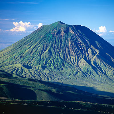
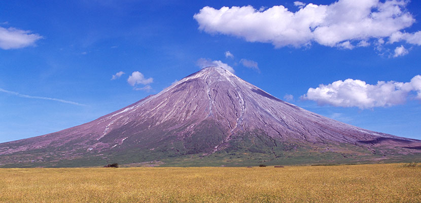
The active volcano Ol Doinyo Lengai, which is about 2960 metres high, lies about 120 km northwest of Arusha on Lake Natron in the East African Rift Valley.
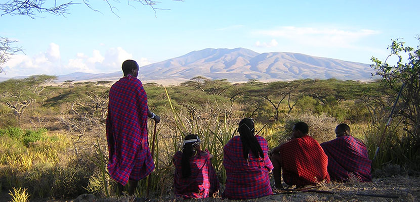
In the language of the Massai Ol Doinyo Lengai means "God's mountain". The volcano is a holy area for the Massai, the seat of their god Engai, who protects the people and their herds, and demonstrates his power to them in anger with volcanic eruptions. In earlier times goats were brought to the god as appeasing sacrifices up to the crater rim.
The volcano is attractive for travelers who are looking for a trekking experience off the beaten track and have trekking experience. The very special arrival, its spectacular location and the active volcanism give a special incentive for this ascent. To the crater rim there are about 1600 vertical meters to overcome, to the highest point at the southern old crater rim it is another 100 meters. Because of the high daytime temperatures, the ascent usually starts at night.
Ascent
The mountain climb takes place in one day. The ascent is very steep and not always easy to manage.
In the coolness of the night the ascent starts with a hike along a steep path over meadows and lava channels.
At half height the path gives way to a path over scree and volcanic ash. This is an arduous section and progress is very slow. (one step forward, one step back!)
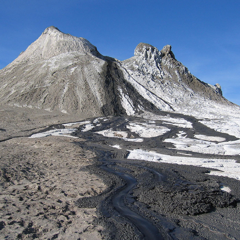
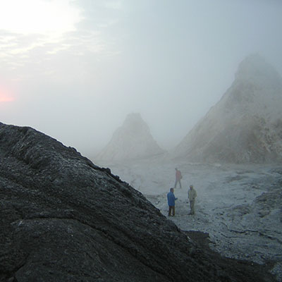
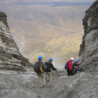
Shortly before the summit the climb becomes very steep. The mountain guides have safety belts, which can be used by the hikers if necessary. Immediately before reaching the summit, after about 6-8 hours, the yellowish sulphur vapours can be seen. The interior of the crater is breathtaking and surreal: the heart of the volcano is covered with white lava, and some smaller cones, occasionally erupt with a very impressive gurgle. The god of the Massai is very present...
The crater rim offers a spectacular view of Lake Natron and on clear days, Mt Kilimanjaro and Mt Meru can be seen more than 100 km away.
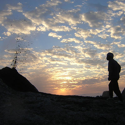
Due to the rapidly rising temperature, it is time to say goodbye to the magnificent panorama after about one hour and shortly after sunrise. Thus, the difficult descent on the slippery cliffs can be mastered in moderate heat.
Origin and development of Ol Doinyo Lengai
Ol Doinyo Lengai is characterized by two different forms of activity: On the one hand, decades of calm effusions of sodium carbonatitic lava, which are relatively
is thin and therefore ""mobile"" - it can suddenly subside or be "thrown" over the crater rim, leading to hornitos (chimney-like eruption cones).
The last cycle lasted from 1983 to 2007 and produced about 10 million cubic metres of sodium carbonatite lava. The old crater was filled with sodium carbonatite and then "overflowed".
At the end of 2007 the crater was cleared out in a massive eruption. A new volcanic cone began to grow as a result of the ejection. Its reduced activity continues to this day and will continue for several years to come.
Makarut Hike

Makarut Hike
This day trekking tour takes you to the 3200 meter high summit of Makarut (Lemagrut), the highest volcano in the Ngorongoro Crater Area. Even though the height of this volcano is not comparable to that of Kilimanjaro or Mount Merus, you should be reasonably fit to enjoy this quite athletic climb. You can reach the summit in 3 to 4 hours and manage a height difference of 700 m. We offer this tour from Olduvai Ndogo and Olduvai Camp.
Before sunrise you leave the camp and drive to Makarut.
The ascent starts early in the morning at the foot of Mt. Lemagrut accompanied by a Maasai guide and an armed ranger, as wild cats and also buffalos can cross the path in this area.
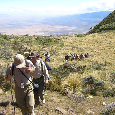
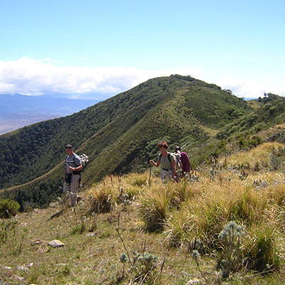
The steep ascent leads up to about 2,800 m and after crossing the dense acacia forest the landscape changes rapidly as the ascent progresses. The further you climb the more impressive the view of the Ngorongoro Highlands and Lake Eyasi becomes. On the other side of the mountain the magnificent view opens up to the wide Olduvai plain - savannah.
The next stage leads to the saddle and finally to the summit.
During your well-deserved picnic you will enjoy the breathtaking view over the vast Serengeti.
On the descent (1.300 m altitude difference) over the ""dry"" side of the mountain you will experience a much more lush vegetation. On this side, you will hike through a high, almost inaccessible valley. Here you will find completely remote Maasai villages in the middle of grassland, whose inhabitants continue their traditional life, independent of any influence of modern civilization.
Your Maasai guide will introduce you to the tribesmen he knows in an unobtrusive way, without making you feel like you are in a zoo, as in the usual tourist interactions with the Maasai.
The last stage of the hike, which is relatively steep, leads through beautiful ,tropical vegetation.
At the foot of the mountain you will meet your driver who will drive you back to the camp.
Meeting the Hadzabes
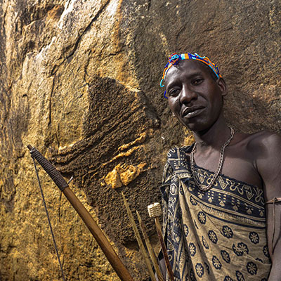
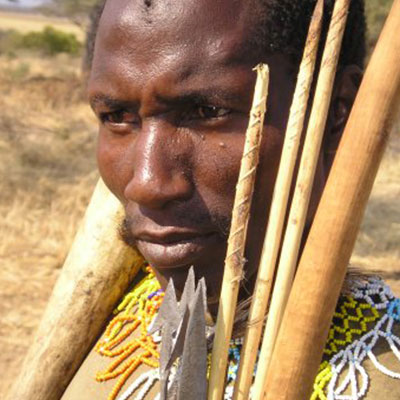
A meeting with the Hadzabes...
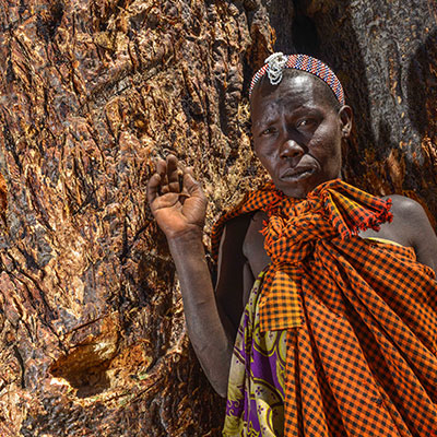
The Hadzabe tribe is unique in Tanzania.
The tribe members have lived on the shores of Lake Eyasi, south of the Ngorongoro Conservation Area, for over 10,000 years.
The number of inhabitants is estimated at about 1000.
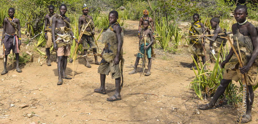
About 300-400 of them still lead the natural hunter-gatherer life like their ancestors.
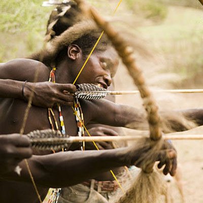
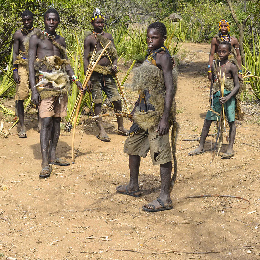
Their meagre possessions include homemade weapons such as bows and arrows, with which they go hunting to feed their families. They dip their arrows into a highly poisonous liquid, which they extract from special plants. This allows them to kill even large animals while the women and children pick berries from the bushes. They live from day to day and refuse to farm or breed animals. Their language, consisting of click sounds, is also fascinating, similar to the language of the San Bushmen in southern Africa.
To visit the Hadzabes, drive over dusty tracks to Lake Eyasi on the edge of the Serengeti. You will be accompanied by a Tanzanian guide who knows the tribe well and to enable an exchange with them.
On arrival you will be welcomed and shown around the village. On request it is possible to accompany some villagers in their activities (on foot). Berry picking and hunting are part of their daily tasks. The Hadzabes are excellent archers and their skill is very impressive. They mainly hunt small mammals (wild rabbits, rabbits or baboons), birds and even small antelopes. Or you can learn to make fire with the simplest methods.
For the European visitor it is sometimes difficult to imagine living under these simple living conditions. It is an impressive visit, which touches and
will be remembered for a long time.
The Datoga, the people of the smiths
Not far from the Hadzabes lives the Datogas tribe. While the tradition of the Hadzabes resembles the culture of the Stone Age, the Dagotas live in the Bronze Age.
They have developed from hunter-gatherers to cattle breeders and the herds of cattle are at the centre of their herdsmen's daily lives.
They are far less known than the Massai, but they wear colourful clothes and besides cattle breeding, they pursue the art of blacksmithing and design their dwellings very artistically.
